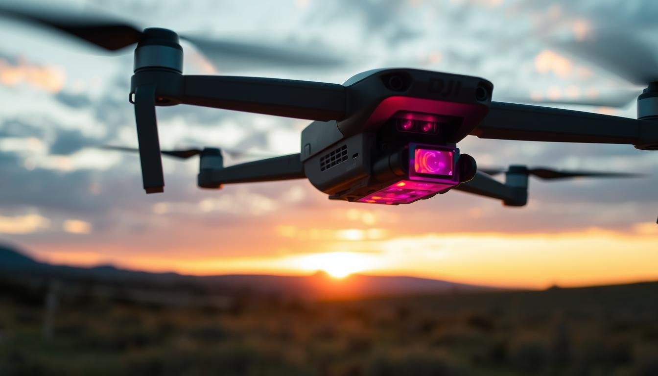
The integration of thermal imaging technology with unmanned aerial vehicles (UAVs) has revolutionized various industries by providing aerial heat detection capabilities. Unlike traditional cameras that rely on visible light, thermal cameras detect infrared radiation, converting it into electronic signals to create detailed heat maps.
This technology excels in conditions where visibility is limited, such as complete darkness, smoke, or fog, making it invaluable in safety-critical and inspection-based scenarios. The use of drone technology has made it possible to access remote or hard-to-reach areas, enhancing the efficiency of operations.
The applications of UAV thermal imaging cameras are vast, ranging from public safety and infrastructure inspection to firefighting and agriculture. As this technology continues to evolve, its importance in modern enterprise operations is growing, enhancing safety, efficiency, and data collection capabilities.
Key Takeaways
- Thermal imaging technology integrated with UAVs provides aerial heat detection capabilities.
- Thermal cameras detect infrared radiation, creating detailed heat maps in low-visibility conditions.
- UAV thermal imaging cameras enhance safety and efficiency in various industries.
- Applications include public safety, infrastructure inspection, firefighting, and agriculture.
- The technology is evolving, with growing importance in modern enterprise operations.
Understanding UAV Thermal Imaging Camera Technology
The integration of thermal imaging with drones has opened new avenues for various industries, enhancing their ability to capture and analyze thermal data. This technology has come a long way since its inception during the Cold War, where it was primarily used for military surveillance and target detection.
How Thermal Imaging Works
Thermal imaging cameras detect infrared radiation emitted by objects, converting it into a visual representation of temperature differences. This allows operators to identify heat signatures, which can be critical in applications such as search and rescue, predictive maintenance, and environmental monitoring. The key to thermal imaging lies in its ability to visualize temperature variations, making it an invaluable tool across different sectors.
Evolution of Drone Thermal Technology
The journey of drone thermal imaging technology has been marked by significant advancements. Initially, thermal imaging systems were bulky and expensive, limiting their use to specialized military applications. However, technological breakthroughs have led to the miniaturization of thermal sensors, making them compatible with commercial drones. As Dr. Maria Zuber, a renowned expert in the field, once noted, “The miniaturization of thermal sensors has been a game-changer, enabling the widespread adoption of thermal imaging technology in various industries.”
Over the past decade, the integration of thermal cameras with drone systems has evolved significantly. From simple attachments to sophisticated multi-sensor payloads, the technology has become more refined. Improvements in resolution, sensitivity, and image processing have dramatically enhanced the capabilities of drone thermal cameras. As a result, thermal drone technology has become more accessible and affordable, democratizing its use beyond military applications to a wide range of industries.
- Trace the historical development of thermal imaging technology from its military origins to current commercial applications.
- Highlight key technological breakthroughs that enabled the miniaturization of thermal sensors.
- Discuss the evolution of integrating thermal cameras with drone systems.
- Explain the improvements in resolution, sensitivity, and image processing.
- Outline the decreasing costs and increasing accessibility of thermal drone technology.
Key Applications and Benefits of Thermal Drone Cameras
Thermal drone cameras are revolutionizing various industries with their ability to capture temperature variations. This technology has numerous applications, ranging from public safety to environmental monitoring.
Public Safety and Search & Rescue Operations
Thermal drone cameras play a crucial role in search and rescue operations by detecting heat signatures, even in complete darkness or through obstacles. This capability enables rescue teams to locate missing persons more efficiently.
Infrastructure and Industrial Inspections
Thermal imaging drones are used to inspect infrastructure and industrial equipment, detecting potential issues such as overheating machinery or damaged components. This proactive maintenance helps prevent costly repairs and downtime.
Firefighting and Emergency Response
In firefighting, thermal drone cameras help identify hotspots, track fire spread, and locate people in danger. This information is critical for effective emergency response and resource allocation.
Agriculture and Environmental Monitoring
Thermal drone cameras are used in agriculture to monitor crop health, detect irrigation issues, and identify pest infestations. They also aid in environmental monitoring by tracking wildlife, detecting early signs of forest fires, and analyzing environmental changes. For instance, thermal imaging can reveal subtle temperature variations in plants, indicating stress or disease before visual symptoms appear.
| Application | Benefits |
|---|---|
| Public Safety | Enhanced search and rescue operations |
| Infrastructure Inspection | Proactive maintenance, reduced downtime |
| Agriculture | Optimized crop management, early issue detection |
As highlighted by a recent study, “The integration of thermal imaging with drone technology has transformed the way we approach various challenges, from disaster response to environmental conservation.” This underscores the versatility and potential of thermal drone cameras across different sectors.
Top UAV Thermal Imaging Camera Products
With the growing demand for thermal imaging solutions, several top-notch UAV thermal imaging camera products have emerged in the market. These products cater to diverse needs and applications, ranging from public safety and industrial inspections to environmental monitoring and research.
DJI Zenmuse H20T
Features and Specifications
The DJI Zenmuse H20T is a versatile thermal imaging camera designed for DJI drones. It features a high-resolution thermal sensor and a wide-angle lens, making it ideal for capturing detailed thermal images.
Key specifications include a temperature range of -20°C to 150°C and a frame rate of 30Hz.
Best Use Cases
The DJI Zenmuse H20T is best suited for applications such as infrastructure inspections, public safety operations, and environmental monitoring. Its high-resolution thermal imaging capabilities make it an excellent choice for detecting temperature anomalies and identifying potential issues.
DJI Zenmuse H20N

Features and Specifications
The DJI Zenmuse H20N is a night vision-enabled thermal imaging camera designed for low-light operations. It features a high-sensitivity thermal sensor and a starlight-level visible camera, making it ideal for surveillance and inspection tasks in low-light conditions.
Key specifications include a temperature range of -20°C to 150°C and a frame rate of 30Hz.
Best Use Cases
The DJI Zenmuse H20N is best suited for applications such as covert surveillance, nighttime search and rescue operations, and low-light inspections. Its night vision capabilities make it an excellent choice for operations that require thermal imaging in low-light environments.
Teledyne FLIR Vue TZ20 Series

Features and Specifications
The Teledyne FLIR Vue TZ20 Series is a high-performance thermal imaging camera designed for drone applications. It features a dual-zoom thermal lens and a high-resolution thermal sensor, making it ideal for capturing detailed thermal images.
Key specifications include a temperature range of -25°C to 135°C and a frame rate of 30Hz.
Best Use Cases
The Teledyne FLIR Vue TZ20 Series is best suited for applications such as aerial inspections, public safety operations, and environmental monitoring. Its dual-zoom thermal lens makes it an excellent choice for detecting temperature anomalies and identifying potential issues.
FLIR Vue Pro

Features and Specifications
The FLIR Vue Pro is a high-resolution thermal imaging camera designed for drone applications. It features a high-sensitivity thermal sensor and a wide-angle lens, making it ideal for capturing detailed thermal images.
Key specifications include a temperature range of -25°C to 135°C and a frame rate of 30Hz.
Best Use Cases
The FLIR Vue Pro is best suited for applications such as infrastructure inspections, public safety operations, and environmental monitoring. Its high-resolution thermal imaging capabilities make it an excellent choice for detecting temperature anomalies and identifying potential issues.
Compact Thermal Solutions: CD314SPX and CD319SPX

The CD314SPX and CD319SPX are ultra-lightweight thermal imaging cameras designed for small drone platforms. They feature a 320×240 sensor and a compact design, making them ideal for applications where payload capacity is limited.
Key specifications for the CD314SPX include a HFOV of 56°, a temperature range of -40°C to 330°C, and a frame rate of up to 27Hz. The CD319SPX has a HFOV of 24°, a temperature range of -40°C to 330°C, and a frame rate of up to 27Hz.
Best Use Cases
The CD314SPX is best suited for applications that require a wide field of view, such as general scanning and surveillance. The CD319SPX is ideal for applications that require a narrow field of view, such as longer-range detection and inspection.
These compact thermal solutions are effective for tactical applications requiring discreet deployment, such as covert surveillance or rapid deployment in sensitive conditions. They are also suitable for hobbyists and researchers with limited budgets, providing access to professional thermal imaging capabilities.
Conclusion: Future Trends in UAV Thermal Imaging
Thermal drone technology is on the cusp of a significant leap forward, driven by advancements in AI, ML, and IoT integration. The future of drones equipped with thermal imaging capabilities looks promising, with enhanced operational efficiency and expanded applications. AI-powered software will analyze thermal images in real-time, identifying patterns and anomalies.
Edge computing will enable on-board processing, reducing latency and facilitating faster decision-making in critical situations like firefighting and rescue operations. As payloads become more efficient, flight time will increase, allowing for more comprehensive data collection.
FAQ
What is the Vue128 payload, and how is it used in drone operations?
The Vue128 is a high-resolution thermal payload designed for drone applications, providing detailed thermal images for various uses, including search and rescue missions, inspection, and security operations.
How do drone thermal cameras enhance search and rescue missions?
Thermal drone cameras, such as those from Teledyne FLIR, enable rescue teams to locate missing persons or survivors in challenging conditions, such as at night or in areas with dense foliage, by detecting temperature differences.
What are the benefits of using thermal imaging in firefighting operations?
Thermal imaging technology allows firefighters to navigate through smoke-filled areas, detect hotspots, and identify potential hazards, improving response times and overall safety during emergency response situations.
Can thermal drone cameras be used for infrastructure inspection?
Yes, thermal drone cameras are effective for inspecting infrastructure, such as bridges and buildings, by detecting temperature anomalies that may indicate potential issues or damage.
What factors should be considered when selecting a thermal payload for a drone?
When choosing a thermal payload, consider factors such as resolution, gimbal stability, and software compatibility to ensure optimal performance and image quality for specific applications.
How do advancements in thermal imaging technology impact various industries?
Advances in thermal imaging technology have expanded its applications across industries, including public safety, agriculture, and industrial inspection, enabling more efficient and effective operations.